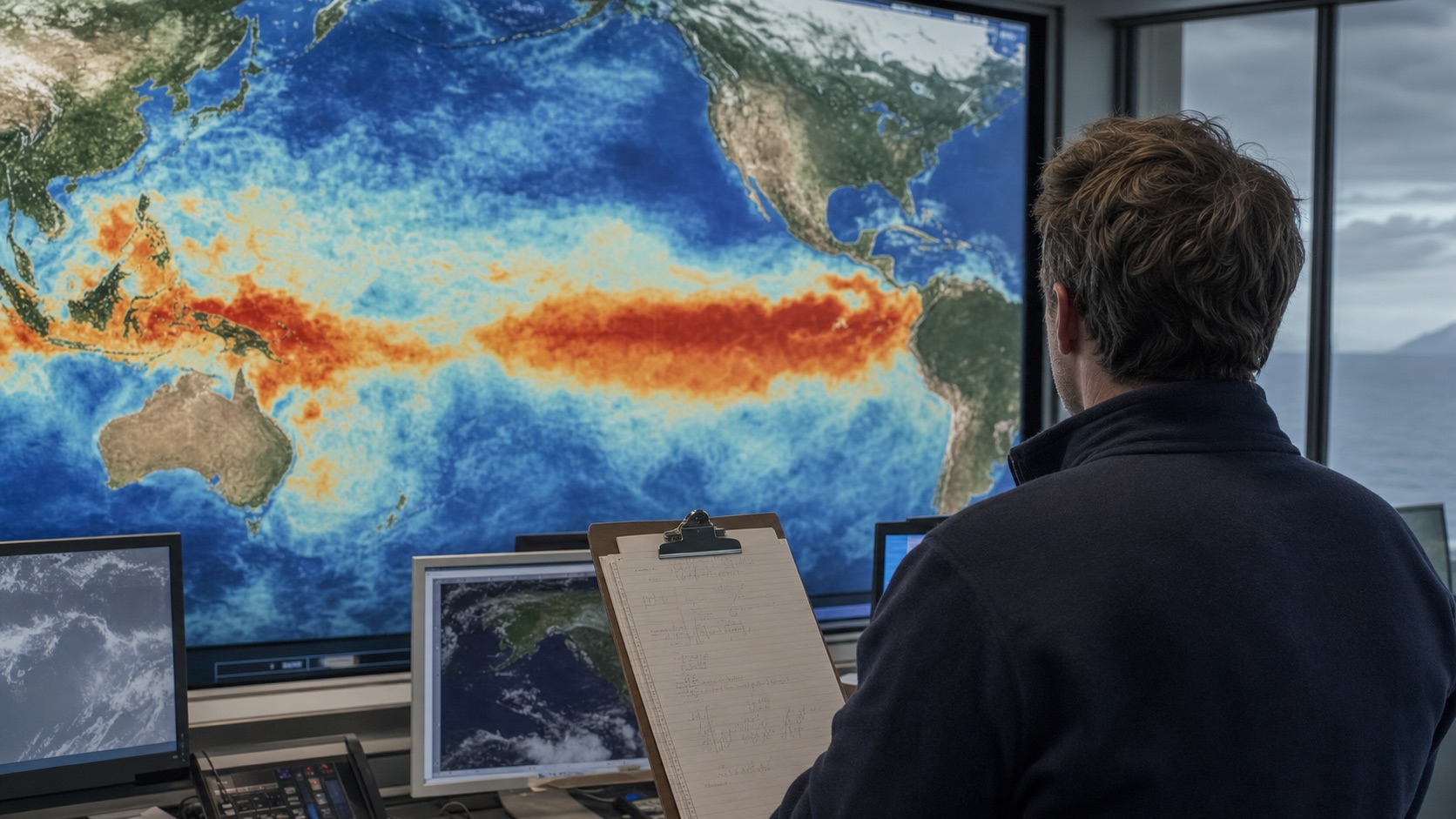
Google searches for a 2026 ‘super El Niño’ forecast are surging in the United States. NOAA’s July assessment says El Niño is already present, has a 97% chance of lasting into early spring 2027 and an 81% chance of becoming very strong during October–December 2026. That is a high-confidence climate signal—not a guarantee of one exact winter outcome in every city.
Timeline
May — WMO said developing El Niño conditions were likely and could strengthen. July 9 — NOAA declared El Niño continuing and strengthening, with a 97% persistence probability into early spring 2027 and an 81% chance of a very strong October–December event. August 13 — NOAA’s next diagnostic update is scheduled.
El Niño changes the odds of temperature and rainfall patterns around the world and can increase planning pressure on agriculture, water systems, energy markets and disaster agencies. Its effects are uneven: even historically large events do not produce the textbook outcome everywhere.
The next scheduled NOAA ENSO Diagnostic Discussion is August 13, 2026. Watch whether the ocean and atmosphere remain strongly coupled, how the Niño-3.4 index evolves and how regional seasonal outlooks translate the global signal.
What happened?
NOAA’s Climate Prediction Center upgraded the system to an El Niño Advisory and reported a strengthening coupled ocean–atmosphere pattern across the equatorial Pacific. The latest weekly Niño-3.4 index cited in the July discussion was +1.2°C. NOAA’s models project further strengthening through the end of 2026.
Why it matters
El Niño changes the odds of temperature and rainfall patterns around the world and can increase planning pressure on agriculture, water systems, energy markets and disaster agencies. Its effects are uneven: even historically large events do not produce the textbook outcome everywhere.
Background
Google searches for a 2026 ‘super El Niño’ forecast are surging in the United States. NOAA’s July assessment says El Niño is already present, has a 97% chance of lasting into early spring 2027 and an 81% chance of becoming very strong during October–December 2026. That is a high-confidence climate signal—not a guarantee of one exact winter outcome in every city.
What each side says
NOAA’s July outlook is more confident than WMO’s earlier update: NOAA assigns an 81% chance to a very strong October–December event, while WMO said most models favored at least a moderate event with the possibility of becoming strong. The difference largely reflects newer observations, not a dispute over whether El Niño is developing.
What happens next
NOAA updates its diagnostic discussion monthly and its ocean indicators weekly. Regional outlooks—not the viral label—will determine the practical signal for U.S. rainfall, temperature, agriculture, energy demand and hazards.
Nivegu analysis
The trend is directionally grounded but linguistically inflated. NOAA does see an unusually strong event as probable. It does not publish a universal ‘super’ weather forecast. The useful question is not whether the label wins the internet; it is which regional probabilities change as the Pacific keeps warming.
Different viewpoints
Forecast users who treat the outlook as a probability can prepare early: water managers, agricultural planners, utilities and emergency agencies can test scenarios before seasonal impacts become clear.
Anyone treating the viral phrase ‘super El Niño’ as a precise forecast for a specific town may make the wrong decision. Event strength and local impact are related, but they are not interchangeable.
What are you still wondering?
Answers will use this briefing and its cited sources.Sources and further reading
01NOAA CPC — ENSO Diagnostic Discussion, July 2026↗02NOAA CPC — Official ENSO probabilities↗03WMO — El Niño/La Niña Update, May 2026↗04Google Trends — United States↗Questions, answered.
What is the short version?
Google searches for a 2026 ‘super El Niño’ forecast are surging in the United States. NOAA’s July assessment says El Niño is already present, has a 97% chance of lasting into early spring 2027 and an 81% chance of becoming very strong during October–December 2026. That is a high-confidence climate signal—not a guarantee of one exact winter outcome in every city.
Why does this matter now?
El Niño changes the odds of temperature and rainfall patterns around the world and can increase planning pressure on agriculture, water systems, energy markets and disaster agencies. Its effects are uneven: even historically large events do not produce the textbook outcome everywhere.
What should readers watch next?
The next scheduled NOAA ENSO Diagnostic Discussion is August 13, 2026. Watch whether the ocean and atmosphere remain strongly coupled, how the Niño-3.4 index evolves and how regional seasonal outlooks translate the global signal.